
DOBBIN is the Equestrian Mapping Workhorse for BHS Volunteers
Please click on the Dobbin facility you wish to exploreRideMaps - Rides and Trails in the UK to encourage exploring routes new to people
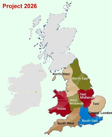
Project2026 - Unrecorded ways and associated research and applications
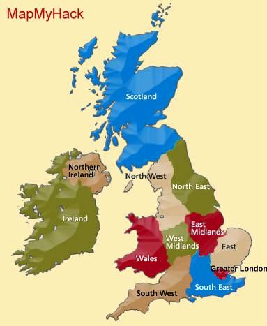
MapMyHack - Where people ride
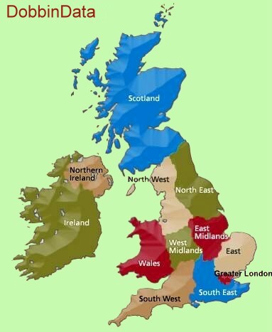
DobbinData - Supporting the BHS's work with information on use by equestrians *New in 2021.
DobbinDirect - A general mapping facility for individuals, e.g. to:
- Prepare a Ride Map for adding to RideMaps
- Prepare a map for your own purposes or sharing with others
- View the maps you and others have prepared
FEATURES
Available basemaps:
- 1:50,000 and OS 1:25,000
- Open Data Maps - Cycle, Landcape etc.
- Google and Bing satellite views
Dobbin
- Provides an easy to use interface for everyone
- Enables you to plot and edit your routes accurately on the website
- Upload route files from software such as Memory-Map or your smartphone or GPS if you plot as you ride
Welcome to DOBBIN
— BHS Volunteers' Equestrian Access Mapping Mapping Facility for Bridleway and Access Volunteers
Please click on the Dobbin function you wish to explore